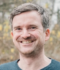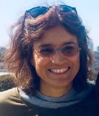
José Moreno received the M.Sc. degree in Physics in 1986, and the Ph.D. degree in Theoretical Physics in 1992 from the University of Valencia, Spain. In 1995-1996 he was visiting scientist at NASA/Jet Propulsion Laboratory, and since 1997 a professor of Applied Physics at the University of Valencia. He is currently Full Professor of Earth Physics with the Department of Earth Physics and Thermodynamics, Faculty of Physics, University of Valencia, Spain, and director of the Laboratory for Earth Observation (LEO) Image Processing Laboratory/IPL-Scientific Park. His main work is related to the modeling and monitoring of land surface processes by using remote sensing techniques, in particular imaging spectroscopy. He has been involved in many international projects and research networks, as well as in the preparatory activities and exploitation programs of several satellite missions. He is currently Principal Investigator and chairman of the Mission Advisory Group (MAG) for the Fluorescence Explorer (FLEX) mission, an Earth Explorer of the European Space Agency (ESA), and member of the EnMAP Science Advisory Group. He has been a member of the ESA Earth Sciences Advisory Committee, the Space Station Users Panel, and other international advisory committees. He is currently Associate Editor for IEEE Transactions on Geoscience and Remote Sensing and Section Editor-in-Chief of “Satellite Missions for Earth and Planetary Exploration” in Remote Sensing. He was General Chair for IGARSS-2018. He is also involved in masters and educational programs for the preparation of young scientists in the exploitation and usage of remote sensing techniques.

Sebastian van der Linden is a Professor of Geography and head of the Earth Observation and Geoinformation Science Lab at the University of Greifswald, Germany. He holds an MSc in Environmental Sciences (2002, University of Trier) and a PhD in Remote Sensing (2008, Humboldt-Universität zu Berlin). In his PhD thesis, Sebastian used HyMap data from Berlin with machine learning for the classification of urban land cover. Together with colleages from Humboldt-Universität he continued on this topic as a postdoctoral researcher and senior scientist in the EnMAP Core Science Team. In this context, they developed the idea of regression-based unmixing of urban areas and later also of natural environments. In parallel, he had the scientific lead in the development of the EnMAP-Box with a focus on the user-friendly implementation of advanced algorithms in this free and open source software. After moving to Greifswald in 2019, Sebastian put a new focus on the mapping and monitoring of peatlands with hyper- and multispectral data, e.g. for evaluating the effectiveness of rewetting and restoration of disturbed mires. He is a member of the EnMAP Science Advisory Group EnSAG, Co-Director of the university’s Interdisciplinary Centre for Baltic Sea Region Research and member of the Greifswald Mire Centre’s Coordination Group.

Claudia Giardino, PhD in Remote Sensing (Polytechnic of Milano, Italy) is a Research Director at the National Research Council of Italy, Institute for Electromagnetic Sensing of the Environment (CNR-IREA) in Milano (Italy). She has more than 20 years of experience in remote sensing; specifically, biophysical parameters retrieval, imaging spectroscopy, multi-source data processing and calibration/validation activities. She is a group leader at the CNR-IREA laboratory of ‘water quality remote sensing’ which is involved in aquatic optics, bio-optical modelling, water quality monitoring, shallow waters mapping and multi-source data analysis and modelling for lakes ecology. She has been responsible for research activities in more than 30 national and international projects on remote sensing of aquatic ecosystems. In 2002 and 2006 she was a visiting scientist at the CSIRO in Canberra (Australia), and currently she is a member of the IOCCG Committee, of the ESA Mission Advisory Group of CHIME and of the ASI Mission Advisory Group of PRISMA.
